
As part of his project at St John’s, Chris Swarbrooke photographed the Tithe Map of the Parish of St John Under the Castle, drawn by William Figg in 1841.
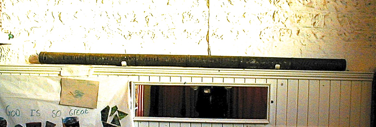
It covers an extensive area, because it includes the Parish of St John Without. The map is very large – of the order of 3 metres square – and for 150 years was kept in the church in a long metal tube, or tithe case, shown here. It is now in The Keep, in Brighton.
Chris took photographs of it, at various scales, and these can be seen on the following links:
Tithe map – Title
Tithe map – Overview
Tithe map – Beechwood House to Bevern Bridge
Tithe map – Court House Farm to Beechwood
Tithe map – Lewes to Landport Farm
Tithe map – Allington Farm detail
Tithe map – Court House Farm detail
Tithe map – Lewes detail


No Comments
Add a comment about this page